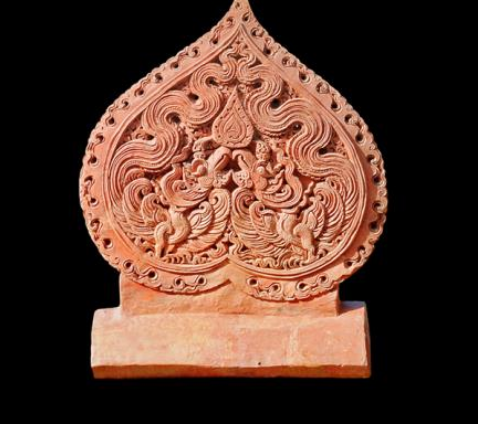
Làng nghề
 Di tích văn hóa & lịch sử


♦ Prof. Dr. People’s Teacher Nguyen Quang Ngoc
(continued from part 1)
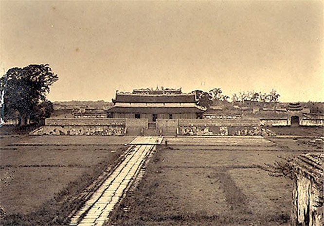
Thăng Long citadel - The Imperial capital of the Đại Việt civilization era
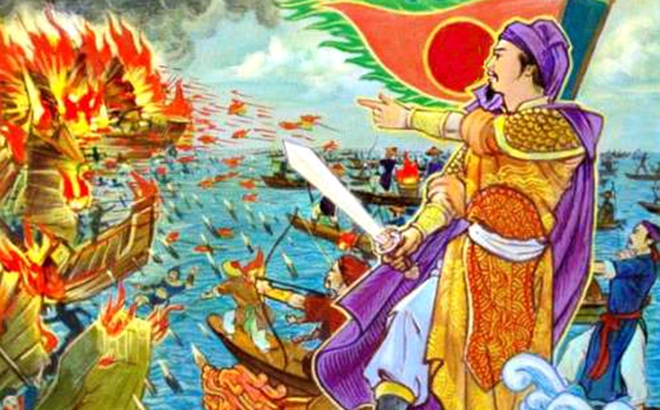
thuongLý Công Uẩn founded the Lý dynasty in the Hoa Lư capital and decided to move the capital from Hoa Lư to the Đại La citadel in 1010. More than anyone else, Lý Công Uẩn soon understood that only the Đại La citadel area was “the favorable area, a vital convergence point for the four directions, and truly deserves to be the capital for all generations to come for eternity”. After fully preparing both mentally and materially, in the autumn of July 1010, Lý Công Uẩn himself organized the relocation of the capital city from Hoa Lư to the new capital in the Đại La citadel. As his boat arrived and was temporarily anchored at the foot of the Đại La citadel, a golden dragon suddenly emerged above the royal boat. Inspired by this incident, Lý Công Uẩn renamed the capital Thăng Long. Thăng Long citadel is the symbol of a soaring dragon, indicating the national powerful spirit of advancement, while holding the sacred belief of the “Dragon and Fairy” concept, and the dream of favorable water sources and harmonious weather among the wet - rice cultivators in the Red River Delta.

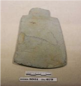
Đại La citadel - predecessor of the ancient Thăng Long citadel (documentary image)
thuongSince the first days after the relocation process, Thăng Long citadel consisted of 3 concentric walls, including Cấm Thành (Forbidden City) as the political center of the dynasty. In the outer area, alongside various palaces, pagodas, and temples, lay the residential and commercial areas for the normal people, consisting of riverside markets, streets, and rural hamlets. La Thành was the outermost wall, functioning as a defensive fortification, a convenient transportation and trade network, and a flood-control dyke system. The gates of all 3 concentric walls included multiple water gates connecting to the Tô Lịch and Kim Ngưu rivers, all of which flowed into the Red River. From Lý Thái Tổ to the subsequent Lý, Trần, and Lê dynasties, the natural 'half-land, half-water' river region was thoroughly utilized for the planning and construction of the capital. Transportation within the Thăng Long citadel, including the Cấm thành (Forbidden city), the Hoàng Thành (Royal city), and the entire capital, was primarily by boat. This was facilitated by an interconnected system of moats, ponds, and lakes that linked directly to the Tô Lịch, Kim Ngưu, and Thiên Phù rivers, all of which flowed into the Red River. Lý and the subsequent Trần, Lê dynasties mobilized the full natural, economic, cultural, social conditions, and especially the people of all 4 regions (Đông, Đoài, Nam, Bắc) to become the resources and motivation for constructing, protecting, and developing the capital for many consecutive centuries. From the 16th century, and especially in the 17th and 18th centuries, when the status of the administrative headquarters weakened, Thăng Long emerged as a bustling riverfront metropolis. By the Tây Sơn era in the late 18th century, even though Thăng Long no longer served as the unified capital of Đại Việt, contemporary people still took pride in the new vitality of a metropolis that had resurged powerfully upon the waters of the Red River.
thuongThroughout nearly 8 centuries of Đại Việt’s civilization, the country successfully achieved wonderful advancement in terms of economic development, reviving the national culture, marking the heroic feats against foreign invaders, firmly protecting the national independence, and completely succeeded in expanding and confirming the national territory, to construct a sovereign and unified nation with inviolable borders, flourishing as one of the most civilized and prosperous nation in the Southeast Asian region. Throughout the Đại Việt civilization, Thăng Long (Đông Đô, Đông Kinh) was always the capital, and the nation’s biggest and most representative political, economic, social, and cultural center. Thăng Long was truly a place where history and culture were combined, exchanged, crystalized and spread in the fastest, strongest, most significant, and most representative way throughout the era of Đại Việt civilization and forever after.
Hanoi - The capital of a sovereign and independent era and modern civilization
thuongThe name of Hanoi emerged in 1831, when the Minh Mệnh king decided to divide the country into provinces, in which Hanoi province was divided into 4 prefectures (Hoài Đức, Thường Tín, Ứng Hòa, Lý Nhân), with its core nucleus being the traditional urban area equivalent to the territories of Thọ Xương and Vĩnh Thuận districts.
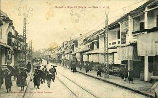
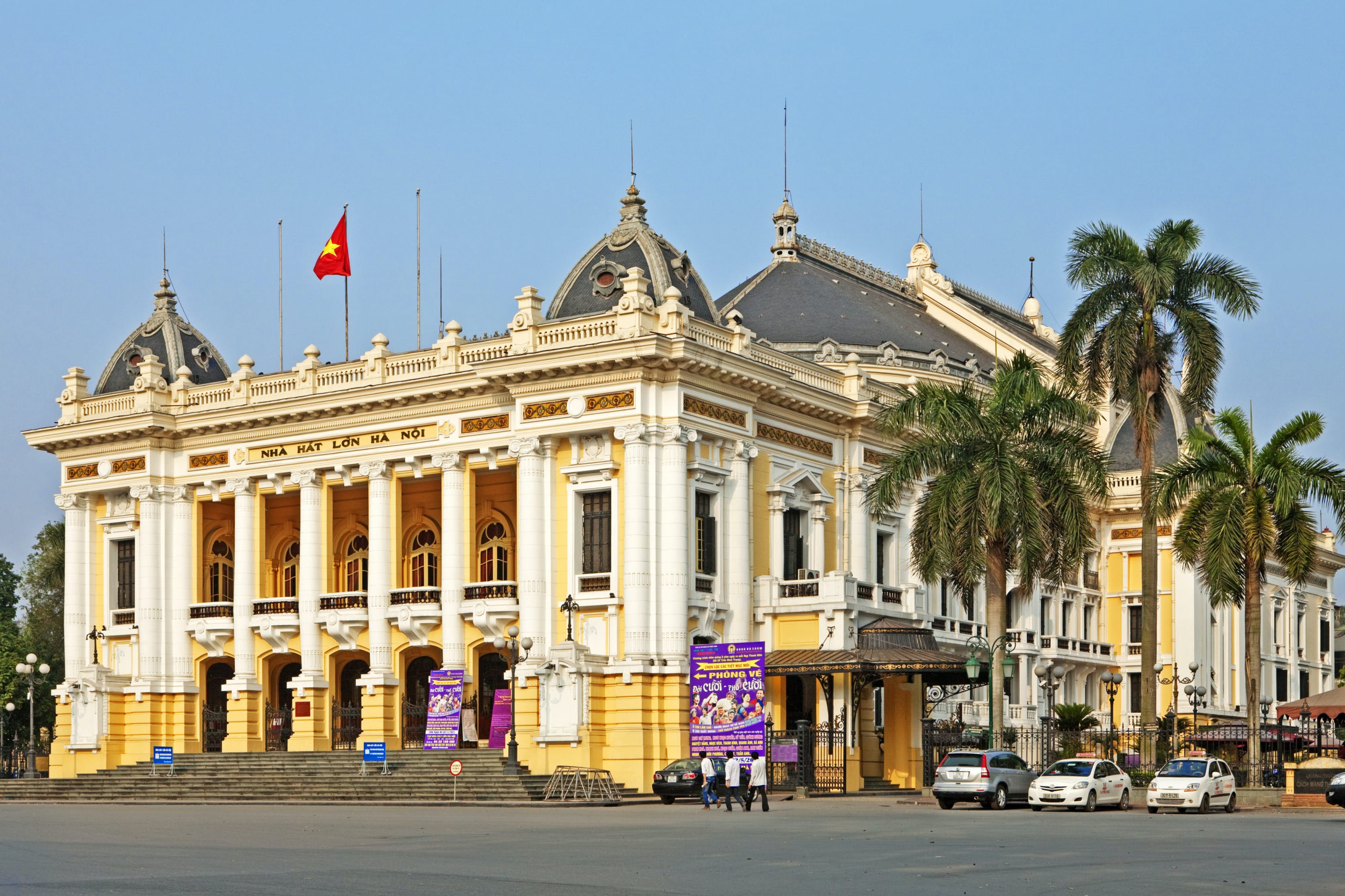
thuongDuring the French colonial period, Hanoi served as both the capital of the Indochinese federation and the capital of Northern Vietnam. It became a concession city consisting of the traditional urban area, and a part of Từ Liêm and Thanh Trì districts. In 1903, Hanoi’s territory was expanded to the northern bank of the Red River, incorporating several communes from Gia Thụy canton, Gia Lâm district, Bắc Ninh province. Hanoi gradually transformed into a modern urban, a center for cultural and intellectual exchange between East and West, connecting tradition with modernity, and the center of many patriotic and revolutionary movements, especially since the founding of the Communist Party of Vietnam.
thuongThe August Revolution in 1945 succeeded, making Hanoi the capital of the Socialist Republic of Vietnam. At Ba Đình Square, President Hồ Chí Minh read the Declaration of Independence, affirming the birth of an era of independence and freedom, leading to a modern and civilized society. Entering this new era, Hanoi continued to lead the resistance war against the French. On October 10, 1954, Hanoi was completely liberated. From the very first day of taking over, Hanoi had to simultaneously carry out two tasks: socialist transformation and socialist construction, while also becoming the major rear base for the large front line in the South. In 1961, Hanoi was further expanded by integrating 18 communes, 6 hamlets, and 1 town from Hà Đông province, 29 communes and towns from Bắc Ninh province, 17 communes and half a hamlet from Vĩnh Phúc province, and 1 commune from Văn Giang district, Hưng Yên province. This administrative scale remained largely stable throughout the resistance war against the U.S. for national salvation.

On September 2, 1945, President Hồ Chí Minh read the Declaration of Independence in Ba Đình Square (Documentary image)
thuongOn April 30, 1975, the journey toward national liberation and the reunification of the fatherland was completely successful. This is a glorious achievement that established Vietnam as a pioneering force in the worldwide struggle against colonialism and for national self - determination. During this period, Hanoi became the cradle of the “Three readies” youth movement and the “Three responsibilities” women's movement. It was also the land of the “Trường Sơn’s walking stick”, providing human and material support to the great southern frontline, defeating the air war of destruction of the U.S., and achieving the “Điện Biên Phủ in the air” victory over Hanoi's sky in late 1972. After the national unification, Hanoi became the capital of the Socialist Republic of Vietnam, overcoming the consequences of the war and developing a capital that is worthy of the entire nation.
thuongOn December 29, 1978, the National Assembly of the Socialist Republic of Vietnam officially approved the administrative integration of Ba Vì, Phúc Thọ, Thạch Thất, Đan Phượng, and Hoài Đức districts, along with Sơn Tây and Hà Đông towns, and 17 communes from Chương Mỹ, Thanh Oai, Thường Tín, and Quốc Oai districts of Hà Sơn Bình province; the entire Sóc Sơn district, 18 communes, and 1 town of Mê Linh district, Vĩnh Phú province into Hanoi city. On August 12, 1991, the National Assembly issued a resolution to divide Hà Sơn Bình province into two provinces, which are Hòa Bình and Hà Tây. Consequently, all the land areas of Hà Sơn Bình district, which were integrated into Hanoi 13 years ago, were re-transferred to Hà Tây province. During this period, Mê Linh district was also re-transferred to Vĩnh Phú province. Hanoi’s boundaries were largely restored to their 1961 - 1978 limits. While the urban quality exprience improvements to some extent, the city remained relatively impoverished compared to other capitals in the Southeast Asian region. From 1986, Hanoi pioneered in the national renovation process, eradicating the mechanism of centralized bureaucracy and subsidy and gradually transforming into a market-oriented economy, while progressively implementing industrialization, modernization, and international integration.
thuongThe late 20th and early 21st centuries witnessed a period of rapid urban development and urbanization on both banks of the Red River within Hanoi city. During this period, besides the pre - existing road and bridge system that still functioned well (Long Biên, Thăng Long, Chương Dương bridges), there was also the appearance of Trung Hà, Thanh Trì, Vĩnh Tuy, Vĩnh Thịnh, and Nhật Tân bridges, as well as ring roads 2, 3, and 4, and the transportation networks on both banks of the river, the urban core, and inner-city areas, which have been upgraded. This transformation not only bridges the two banks of the river but also repositions the Red River as the central axis of Hanoi’s urban development.
thuongOn May 29, 2008, following the resolution on the administrative boundary adjustment of Hanoi, the entire province of Hà Tây, the entire province of Mê Linh district of Vĩnh Phúc province, and 4 communes of Lương Sơn district, Hòa Bình province, were integrated into Hanoi. The territory of Hanoi expanded toward both banks of the Red River, with an area of 334,470.2 hectares, including 10 urban districts, 1 town, 18 rural districts, 154 wards, 22 townships, and 401 communes, with a total population of more than 6.8 million people.
thuongIn 2011, the Prime Minister approved the master plan for Hanoi’s construction through 2030, with a vision toward 2050, positioning the areas along both banks of the Red River as the central landscape axis of the capital. The Hanoi capital’s master plan for the 2021 - 2030 period, with a vision toward 2050, reaffirms the city's identity as a Cultured - Civilized - Modern capital. It establishes 3 axes of development, which are the Red River, West Lake - Ba Vì, and Nhật Tân - Nội Bài, with the Red River serving as the central and primary axis.
thuongBy the beginning of 2025, Hanoi is a special urban area, a centrally-governed city comprising 12 districts (Hoàn Kiếm, Ba Đình, Đống Đa, Hai Bà Trưng, Tây Hồ, Cầu Giấy, Hoàng Mai, Thanh Xuân, Nam Từ Liêm, Bắc Từ Liêm, Long Biên, Hà Đông), 1 town (Sơn Tây), 17 rural districts (Thanh Trì, Hoài Đức, Đan Phượng, Gia Lâm, Đông Anh, Mê Linh, Sóc Sơn, Ba Vì, Phúc Thọ, Thạch Thất, Quốc Oai, Chương Mỹ, Thường Tín, Phú Xuyên, Thanh Oai, Ứng Hòa, Mỹ Đức), with the urbanization rate reaching 49.05%.
thuongImplementing the policy of establishing a two-tier local government system - which involves abolishing the former district - level divisions and strengthening ward and commune levels to fulfill their roles as primary grassroots units - Hanoi has consisted of 126 grassroots administrative units (including 51 wards and 75 communes) since July 1, 2025. The model of a Cultured - Civilized - Modern capital has fundamentally crystallized. Hanoi serves as the national political and administrative nerve center, a major center for culture, science, education, and international exchange, and the primary driving force for the Red River delta, the Northern fundamental economic region, and the entire globally connected city that is now comparable with the developed capitals of the region. On December 19, 2025, Hanoi launched the ceremony for the investment project for the construction of the Red River scenic boulevard and the Olympic Sports urban area, with the expectation of becoming a new symbol not only of the Hanoi capital but also of the entire country during the era of great transformation and rise.
(To be continued…)