 Làng nghề
 Di tích văn hóa & lịch sử


Urban planning of Hanoi through different periods

Geographical location and natural resources of Hanoi (part 5)
Hanoi City, with its geographical location in a tropical monsoon climate zone, fertile soils, a dense river network, and many large lakes, has rich and diverse biological resources. The following...
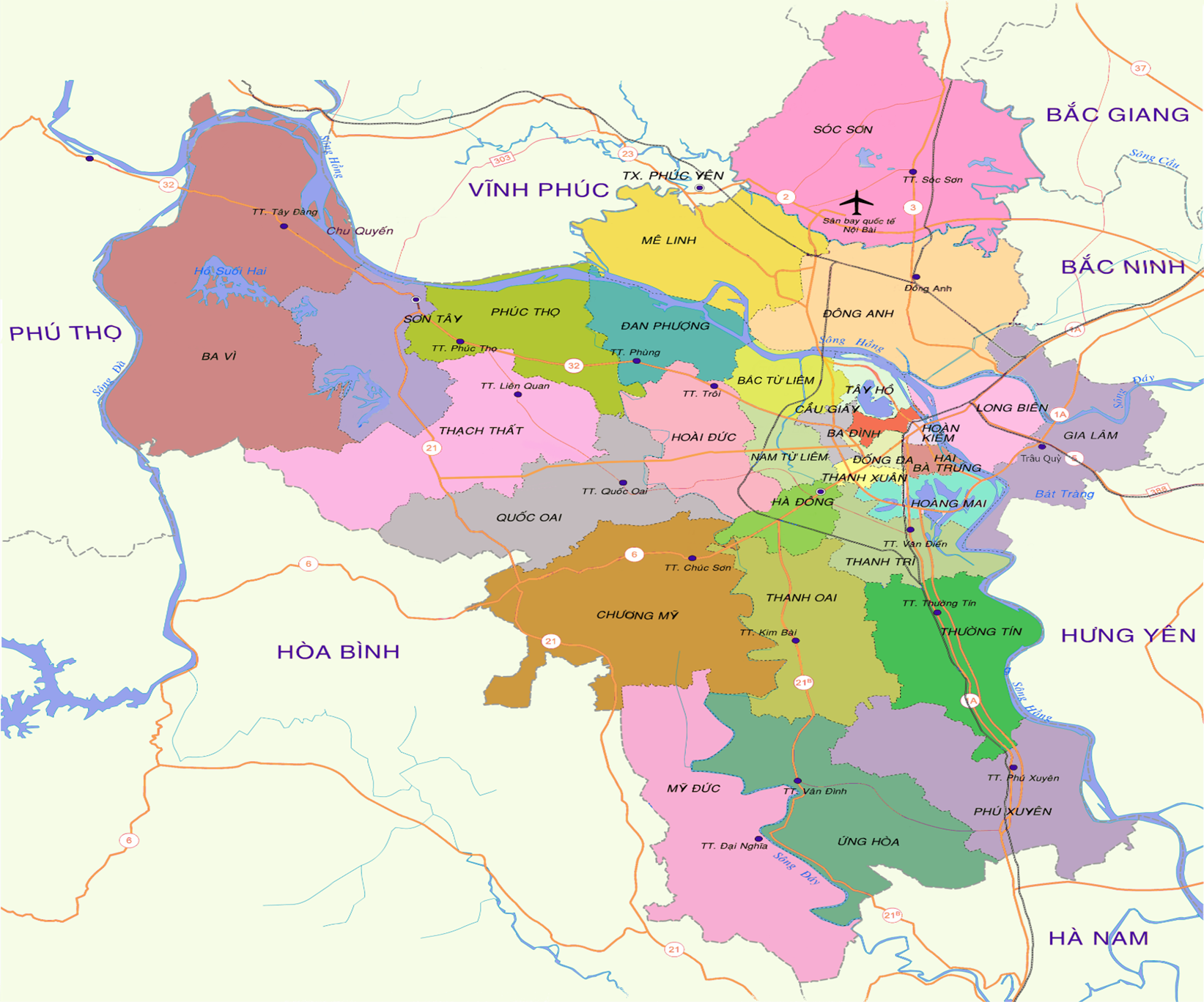
Hanoi’s administrative map changes through history (part 2)
On May 29, 2008, the 12th National Assembly, at its 3rd session, issued Resolution No. 14/2008/QH12, thereby transferring Tân Đức commune of Ba Vì district, Hà Tây province, to Việt Trì city, Phú...
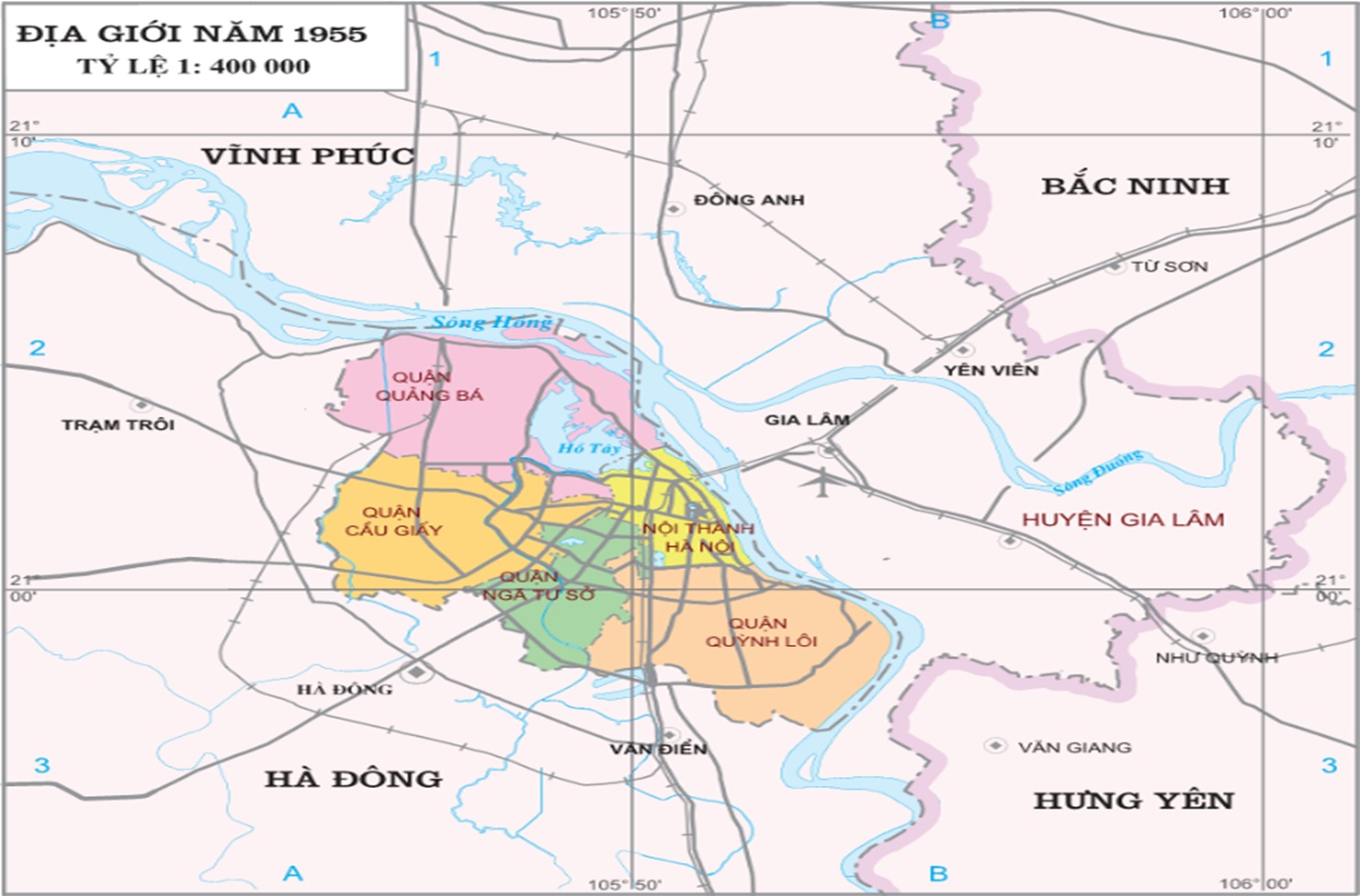
Hanoi’s administrative map changes through history (part 1)
According to the book Vietnam through the ages (Đất nước Việt Nam qua các đời) by Đào Duy Anh, during the Hán dynasty, the expanded area of Hanoi belonged to the districts of Mê Linh, Chu Diên, and...
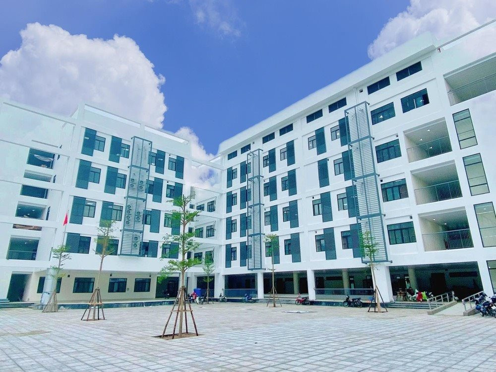
Spatial Orientation for the Development of Education and Training in the Capital City of Hanoi
In the context of globalization and the strong advance of the Fourth Industrial Revolution, education and training play a decisive role in improving the quality of human resources and enhancing...
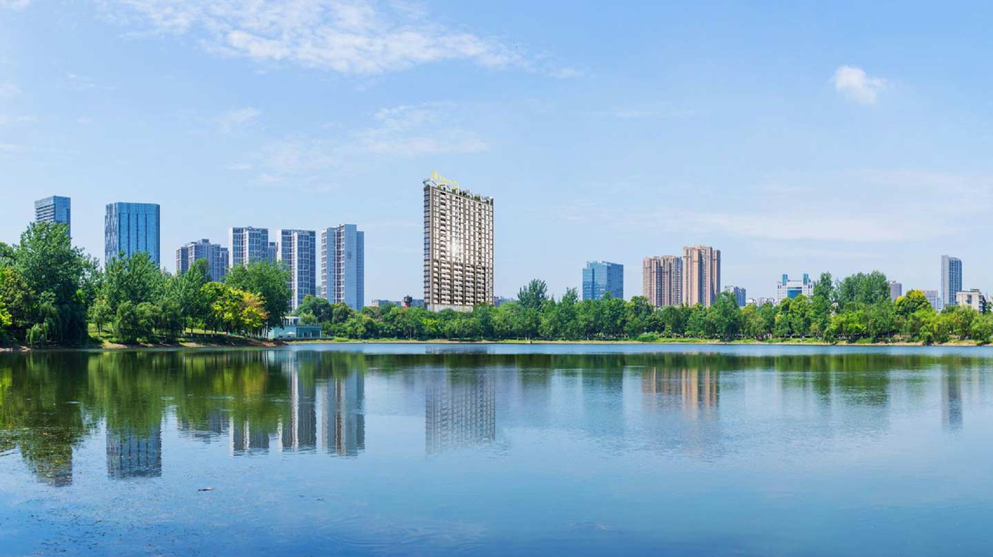
Geographical Location and Natural Resources of Hanoi (Part 4)
The river and lake network of Hanoi has its own distinctive characteristics. The Red River is the main river of Hanoi, entering the city at Bat Bat Commune and leaving the city in the Dai Xuyen...

Geographical Location and Natural Resources of Hanoi (Part 3)
The boundaries of the expanded Hanoi region are bordered by the Da River to the west and the Red River to the north. Within this area lie the Tich, Day, Nhue, and Bui rivers, along with numerous...

Geographical Location and Natural Resources of Hanoi (Part 2)
The geomorphological characteristics of the expanded Hanoi region, as presented in detail above, show that Hanoi’s topography is highly diverse in origin. Within each type, there are landform...
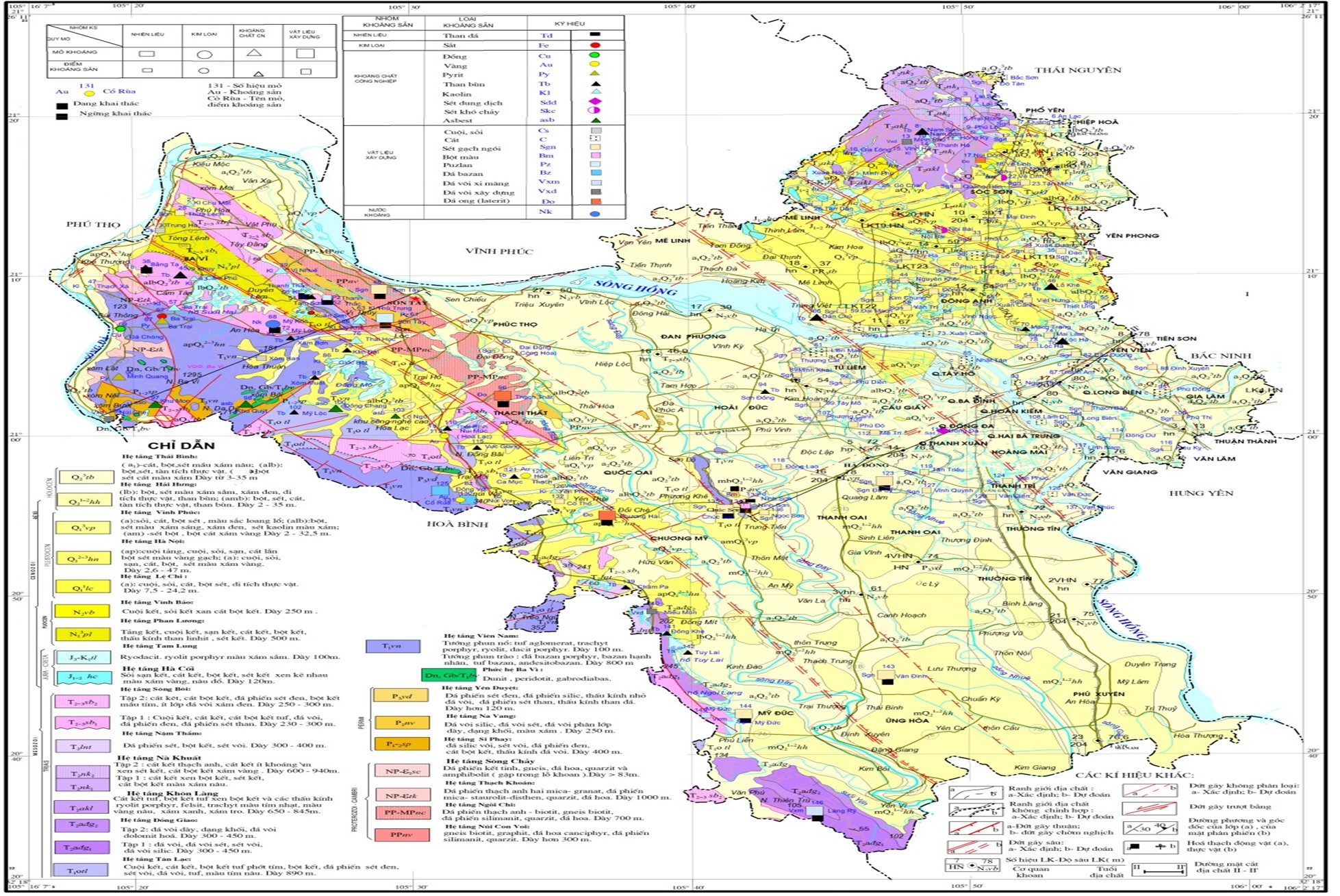
Geographical Location and Natural Resources of Hanoi (Part 1)
The city of Hanoi is located between 20°53′ and 21°23′ North latitude and 105°44′ and 106°02′ East longitude, with a total natural area of[1] 3,359.84 km². Hanoi’s territory extends approximately...